


After four years, an extensive research-plus-technology effort culminated in the world’s first comprehensive coral reef atlas.
What was the starting point for the collection? The project’s leaders first came together with the goal to grow “super coral” for reef restoration. Corals are bleaching and dying all over the globe, largely due to pollution and water temperature changes.
The Allen Coral Atlas was named after the late Microsoft co-founder Paul Allen. In 2017, his company, Vulcan Inc., partnered with Ruth Gates, a Hawaii researcher. Together, they were determined to protect coral reefs. Allen and Gates wanted to use technology to identify and document all the reefs in the world.
Hundreds of contributors brought the atlas to fruition. Researchers from across the globe pooled their expertise and resources to create the first-ever detailed, high-resolution coral atlas.
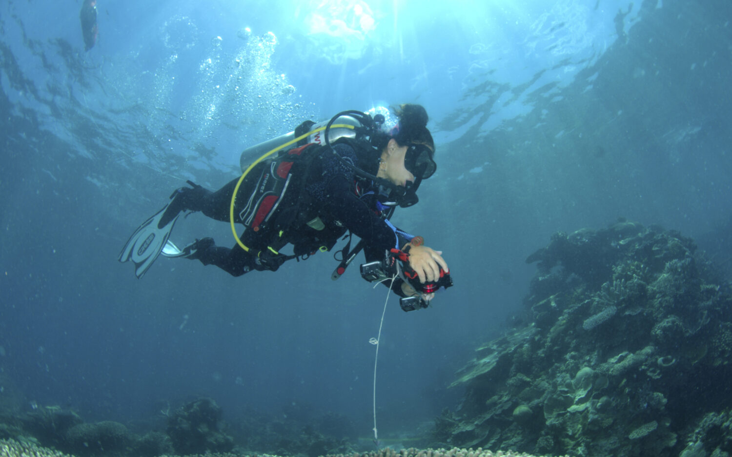
A satellite imaging company called Planet joined the project. It provided about 2.25 million high-quality satellite images for the maps in the atlas. Researchers at Arizona State University developed technology to read the images. Technologists at the University of Queensland in Australia helped to produce the actual maps, using artificial intelligence to generate layers. National Geographic Society scientists provided the “boots on the ground.” They spent hours under water exploring the reefs.
“Our biggest contribution in this achievement is that we have a uniform mapping of the entire coral reef biome,” says Greg Asner. He is managing director of the atlas and director of Arizona State University’s Center for Global Discovery and Conservation. According to Asner, a network of field contributors helped researchers program their satellites and software to focus on the right areas. The information they shared about local reefs made each map more accurate. Asner says that about three-quarters of the world’s reefs had not been mapped in this in-depth way before.
Psalm 95:5 says, “The sea is His, for He made it, and His hands formed the dry land.” God purposed coral to clean seawater, house billions of living creatures, and protect shorelines from storms by serving as buffers. The Earth needs healthy, vibrant coral reefs.
Both Allen and Gates passed away about a year after the atlas project began. But others kept their project alive. “Ruth would be so pleased, wouldn’t she?” says Asner.
The atlas is free online as a reference resource for anyone who is curious about coral. At least 14 countries are already using the reference for planning marine projects. Scientists and policymakers alike will benefit from its availability.
Why? Human progress and cooperation provides valuable information about the location and health of all the vibrant underwater coral reef habitats that God established.


